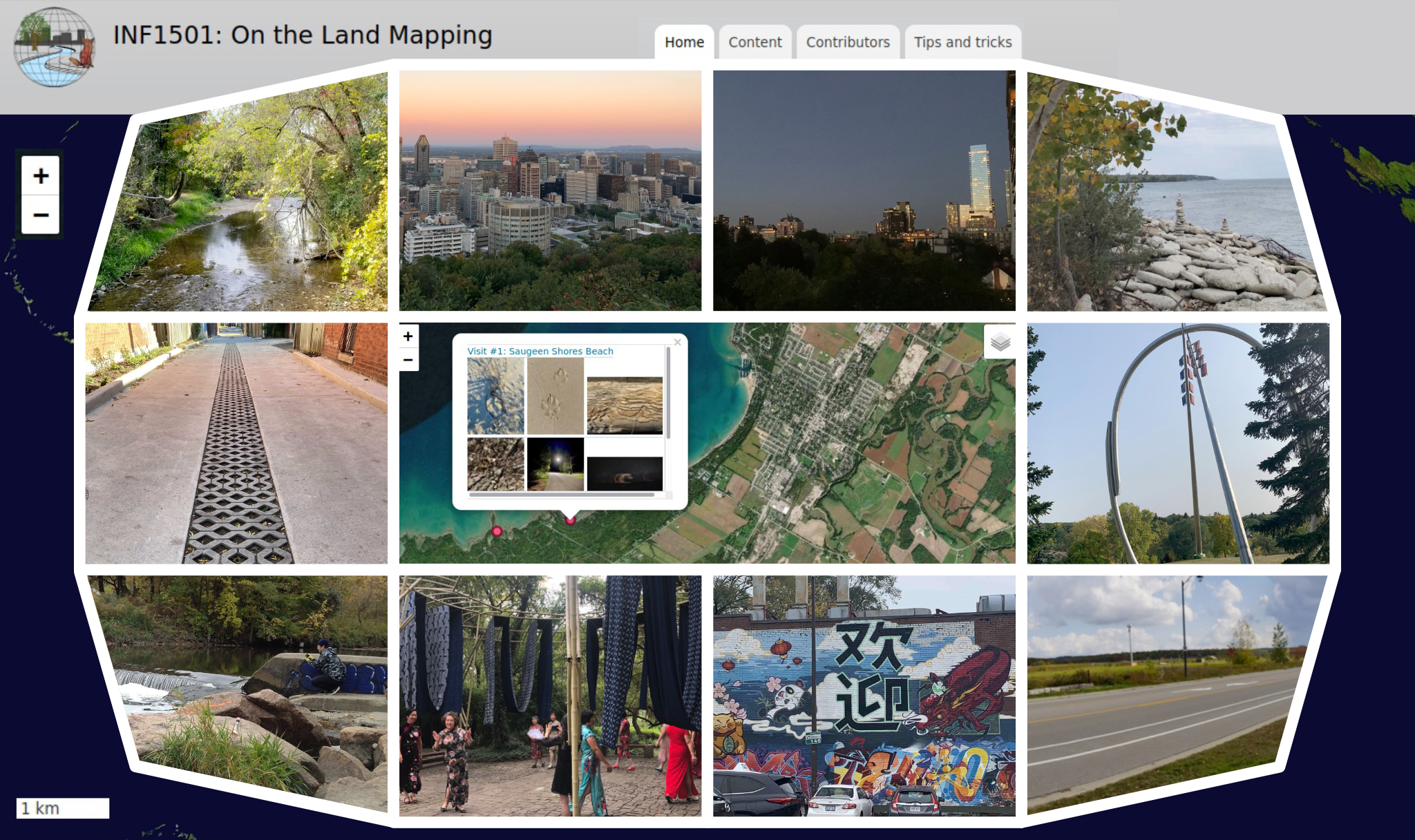
Image credit: Fall 2020 INF1501H Students (images) and Jesse Pyne (collage)
The MEME Project considers the collaborative creation of online, interactive multimedia maps, their value as community and educational resources, and technical and pedagogical design issues related to their use. The project’s first iteration emerged through work in INF1501H (Fall 2020) to enable "on the land" mapping exercises in which students created and mapped multimedia and written reflections in response to their surroundings. We expect this project to contribute to a greater sense of interpersonal class connections via student involvement in map development, including the sharing of place-based perspectives. The approach is appropriate for remote education, yet more generally intended for community-based and experiential learning.
These sites run a packaging of Drupal called Geographic Information Annotation and Media. You can visit a small demonstration site here.